Learn how working with big data to requires a set of skills new to many scientists and explore upcoming learning opportunities in the second part of the #WorkwithData series.
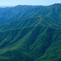
NEON systems engineering staff visit the Maycreek, AL site in the Ozarks Complex (Domain 8) to perform acceptance testing of the Aquatic Observation System (AOS) field protocols.
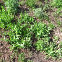
Join thousands of others this spring in making simple plant observations through Project BudBurst. Citizen scientists play an important role in helping researchers determine how seasonal patterns are changing and potentially inform future environmental decisions and education.
The first release includes 11 terrestrial protocols as well as our terrestrial science designs. This release of protocols is the first in a series to be shared over the next several months.
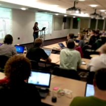
Learn more about open science and NEON's collaboration with Data Carpentry to develop resources and facilitate workshops that support open science skill-building.
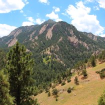
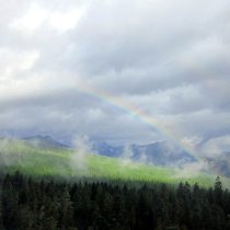
In September 2013, Boulder, CO experienced a seven day storm event and unprecedented rainfall. NEON data collected before and after the flood quanitfy topographic change caused by the storm.
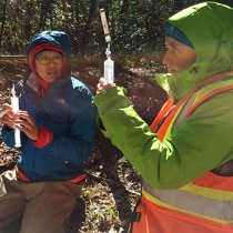
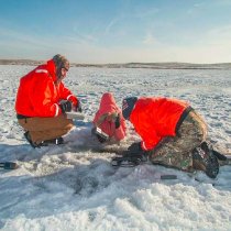
D09 field technicians collect lake water samples year-round; D02 field technicians dig through several inches of ice and snow to access the stream at the Posey Creek. Learn more about winter sampling in the field.
Dr. Ann Bartuska, Deputy Under Secretary for Research, Education & Economics of the USDA, highlights the importance of long-term ecological datasets and federal science investment in research infrastructure in the journal Frontiers in Ecology and the Environment.
Dr. France A. Córdova visited NEON headquarters last Thursday for the first time since assuming her position as Director of the National Science Foundation (NSF) in March 2014.
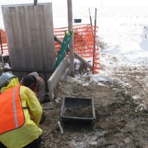
In an effort to provide standardized and more efficient ways to install soil sensors, NEON recently purchased the first of several soil coring machines to install soil sensors up to three meters deep at all 60 terrestrial sites around the US.
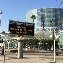
SACNAS (Society for the Advancement of Hispanic/Chicano and Native Americans in Science) is all about inspiration, and that is why it was such a pleasure to attend the national conference last month in Los Angeles.
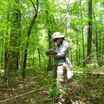
It has been over two years since I was last in the woods of New Hampshire collecting invasive plant data for my undergraduate research. From then to now, I have thought little about data sets or statistical variability.
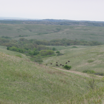
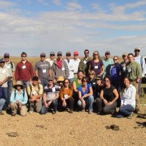
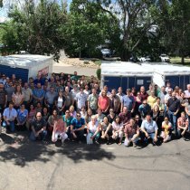
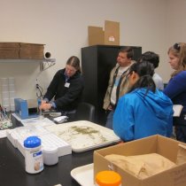
NEON Member Institution representatives learned about NEON data collection first-hand this week during a visit the Central Plains Experimental Range (CPER), the Domain 10 core site. This site tour was part of the 2014 NEON Membership Meeting, held October 21-22 in Boulder, CO at NEON Headquarters.
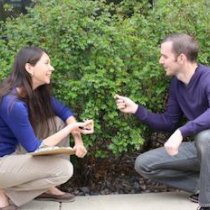
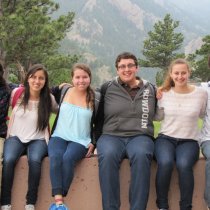
After spending time together in NEON’s summer internship program, Ariel Kaluzhny (a computer science student) and Maddy Ball (an environmental science major) learned a lot about their NEON projects, explored a good bit of Colorado and became great friends.
NEON is quite the unexpected place for an Imaging Science student to do an internship. NEON is all about Ecology, so where am I supposed to fit in here?
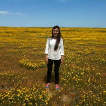
I come from Bogotá, Colombia where I study Environmental Engineering and Industrial Engineering at the Universidad de los Andes. You might ask, “What’s a student from Colombia doing here?”
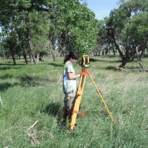
During the 2013 spring semester, I registered for the Surveying for Engineers class at my college. The class was not required for my Environmental Science major, which caused my advisor to question why I would want to take it.
NEON is excited to present its first video in a series of multimedia resources. The Story of LiDAR Data provides a general overview of LiDAR data and highlights how LiDAR data is used to measure structural characteristics of trees.
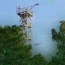
NEON staff celebrate a major accomplishment as four PODs full of sensor equipment ship off to Blandy (D2), Disney (D3), Jones (D3) and Jornada (D14) this week, which marks the beginning of phase three sensor installation for those sites.
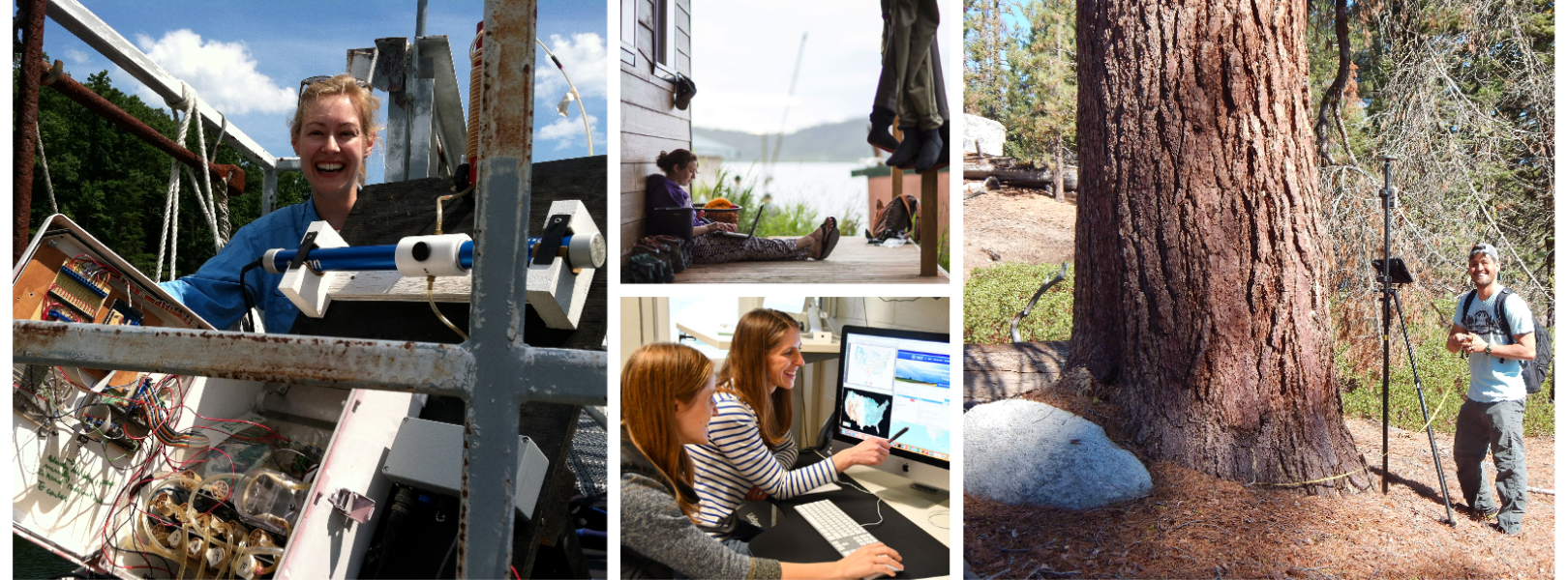
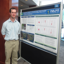
NEON is pleased to welcome its second cohort of summer interns! This year, seven interns join NEON mentor teams to analyze preliminary AOP, aquatic, and terrestrial data, code algorithms to automate image and data processing, and explore citizen science data for early trends. It promises to be an exciting summer.
When you pull up nutrient data for soil cores from across the United States, remember this: They were collected by our hardy and conscientious field technicians.
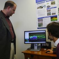
Congressman Jared Polis toured NEON headquarters, heard short presentations and participated in a town hall discussion with NEON staff on Earth Day, April 22, 2014.