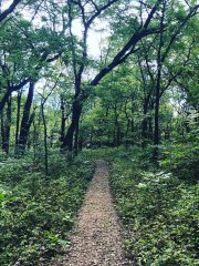
Field Sites
81 freshwater and terrestrial field sites, across 20 eco-climatic Domains. Explore them all.
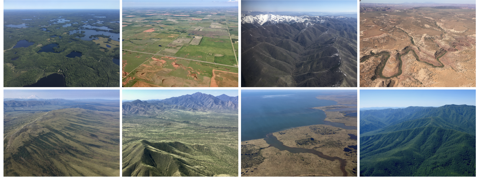
Quantifying ecological processes over time and across the U.S. requires a complex sampling design. NEON's 47 terrestrial and 34 freshwater aquatic sites support studies that characterize ecological change and link individual local measurements to site-level and continental-scale questions about ecological change. From habitats spanning deserts to tropical forests and from tiny streams to lakes, each site has unique characteristics.
About Field Sites and Domains
Learn how our field sites and Domains were designed and how they are managed and monitored.
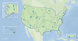
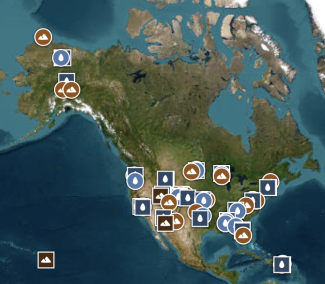
Field Site Map & Info
Explore field sites on this dynamic mapping application and dig in to each site's characteristics and design.
Site Management and Event Reporting
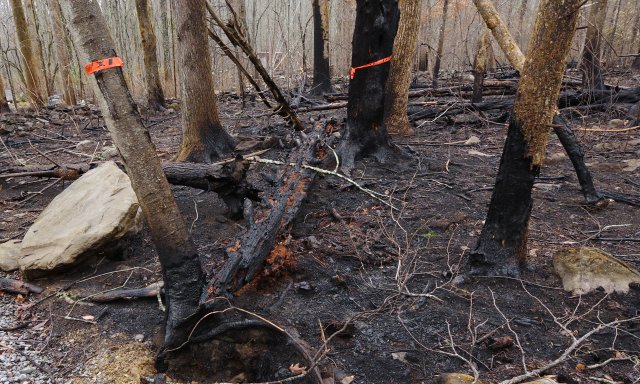
Looking for records of land management activities, disturbances, and other incidents of ecological note within all NEON sites? Check out our data product devoted to this type of reporting.
Field Site Videos
Explore our growing collection of videos focused on each NEON field site.
Through the eyes of field scientists
Get to know the NEON Domains with this collection of published Story Maps, which can be viewed individually or as a presentation of all stories.