Instrument System (IS)
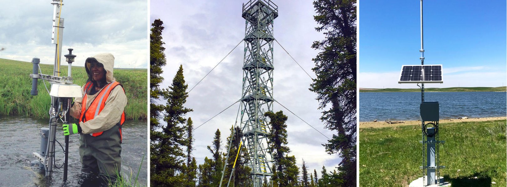
NEON deploys automated instruments to collect meteorological, soil, phenological, surface water, and groundwater data at NEON field sites. At aquatic field sites, NEON deploys in situ sensor stations to collect surface water quality, temperature, and depth measurements, groundwater wells, a riparian meteorological station, precipitation gauges, and a phenocam. At terrestrial field sites, NEON deploys a micrometeorological tower, a soil sensor array, precipitation gauges, and phenocams.
Combined with NEON’s observational sampling data and airborne remote sensing data surveys, these instrument data provide an unprecedented opportunity to study ecosystem-level change over time. Where logistically possible, NEON colocates aquatic sites with terrestrial sites to support understanding of linkages across atmospheric, terrestrial, and aquatic ecosystems. Explore the table relating data products, sensors, and use cases below, or dive deeper into each type of instrumented data that NEON generates.
All Instrument Types
NEON deploys automated instruments to collect meteorological, soil, phenological, surface water, and groundwater data at NEON field sites.
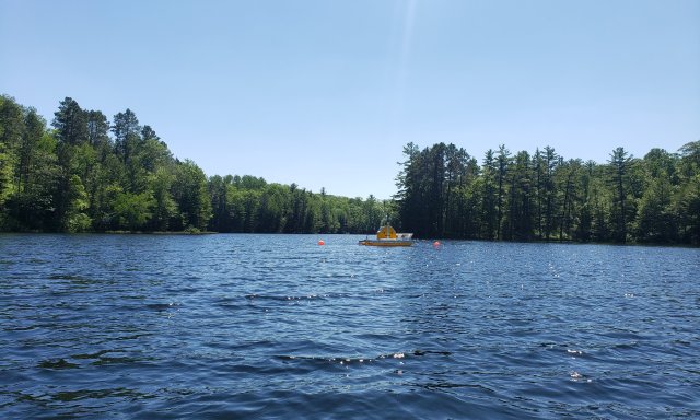
Aquatic IS
The Aquatic Instrument System (AIS) is located in and adjacent to wadable streams, rivers, and lakes, and monitors both surface and ground water.
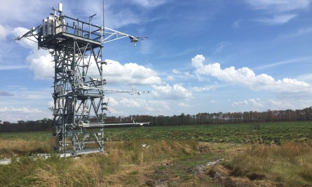
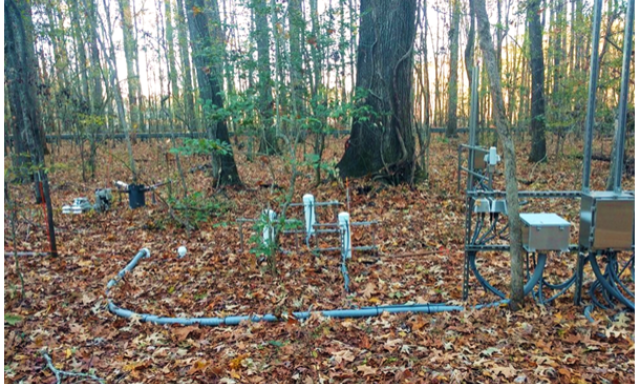
Terrestrial IS
The Terrestrial Instrument System (TIS) collects meteorological, soil, and phenology data at terrestrial field sites.