Hydrology & Geomorphology
The NEON program provides open-access hydrology and geomorphology data products collected at aquatic field sites located in different ecosystems across the U.S. Hydrology data products characterize water level, stream reaeration, and stream and river discharge. Geomorphology data products characterize the topographic (land surface) and bathymetric (underwater) features of aquatic sites.
Hydrology Data Collection
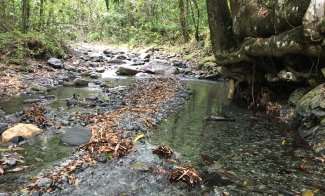
A biological habitat unit that transitions from a riffle to pool at the CUPE field site
Hydrology data are collected at each aquatic site using standardized methods to characterize the hydrologic nature of the stream, river, or lake system. At all aquatic sites, automated sensors installed in the water body continuously measure surface water level and various chemical properties. At stream and river sites, discharge is estimated based on staff gauge readings, continuous water level data, and empirical discharge measurements collected at discrete times throughout the year.
Groundwater hydrology is monitored at most NEON aquatic sites via shallow groundwater wells instrumented with sensors that measure groundwater elevation, temperature, and specific conductance. At sites with permafrost, where part of the water in the ground remains frozen year-round, physical measurements during the warmer months describe melt and freeze dynamics.
Geomorphology Data Collection
Geomorphology data are collected at each aquatic site using standardized methods to characterize the shape and features of aquatic landforms and how they change over time. At stream sites, stream morphology maps and metrics are produced using data collected during high-resolution total station surveys that are conducted at five-year intervals. At river and lake sites, bathymetry maps and metrics are produced using data collected during hydro-acoustic bathymetric surveys that are conducted annually at river sites and at five-year intervals at lake sites.
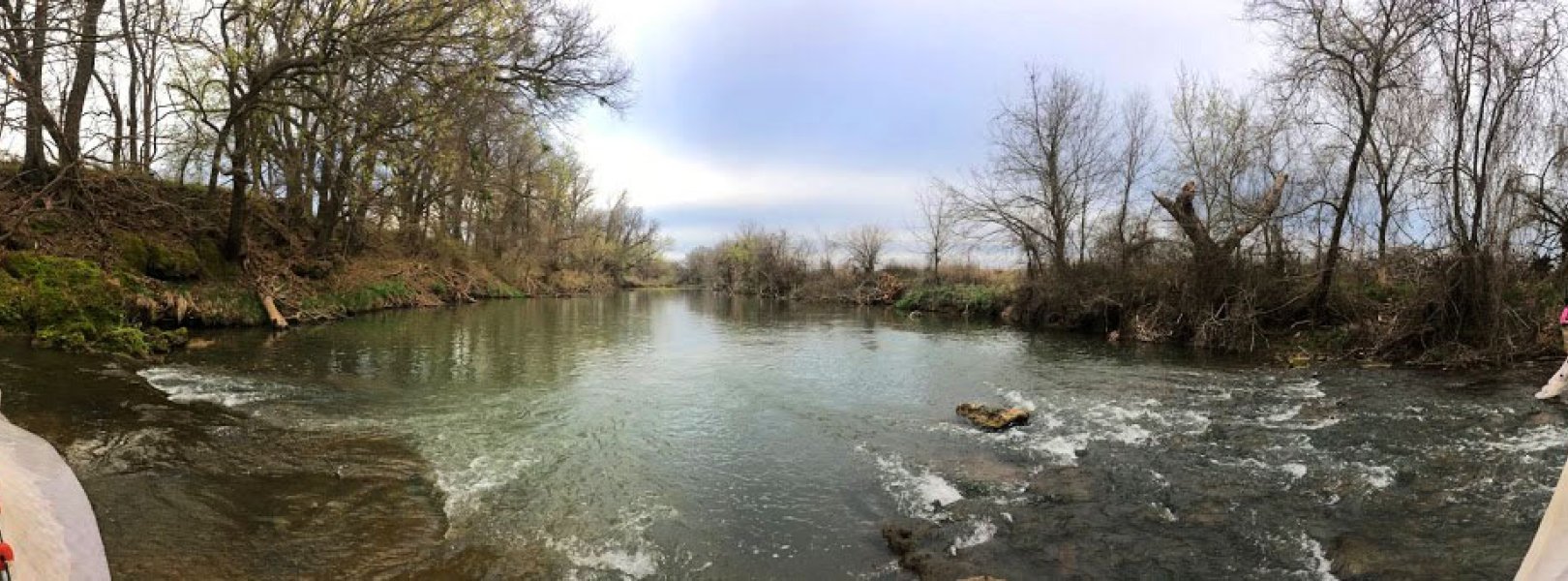
Reach-level morphology at the ARIK aquatic field site
Additional Data Collection
Salt and gas tracer injections are used to measure reach velocities and travel times, allowing researchers to understand gas transfer across the air-water boundary, also known as reaeration rates. An R package for working with reaeration data can be found on the NEON GitHub repository Salt tracer data can also be used to estimate transient storage and discharge including the saturated sediments around a stream, called the hyporheic zone.
Related Data Products include:
- Reaeration field and lab collection (DP1.20190.001)
- Salt based stream discharge (DP1.20193.001)
Additional physical data are collected at river and lake sites to measure water clarity and light penetration. Temperature, dissolved oxygen, and conductivity depth profiles are collected provide information on lake stratification.
Related Data Products include:
- Secchi depth (DP1.20252.001)
- Depth profiles at specific depths (DP1.20254.001)