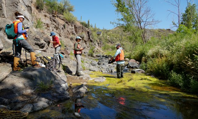
Observational Sampling
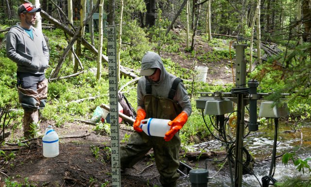
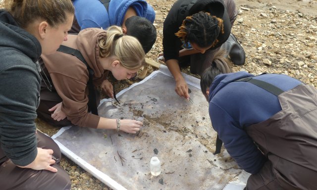
NEON field scientists collect a broad variety of observations and samples at terrestrial and aquatic field sites at regular intervals throughout the year. The observations are designed to provide standardized, continentally distributed observations of organisms, biogeochemistry, and physical properties. Combined with automated instrument measurements and airborne remote sensing data surveys, they provide an unprecedented opportunity to study ecosystem-level change over time. Where logistically possible, NEON colocated aquatic sites with terrestrial sites (21 pairs in total) to support an understanding of linkages across atmospheric, terrestrial, and aquatic ecosystems.
Observation Types
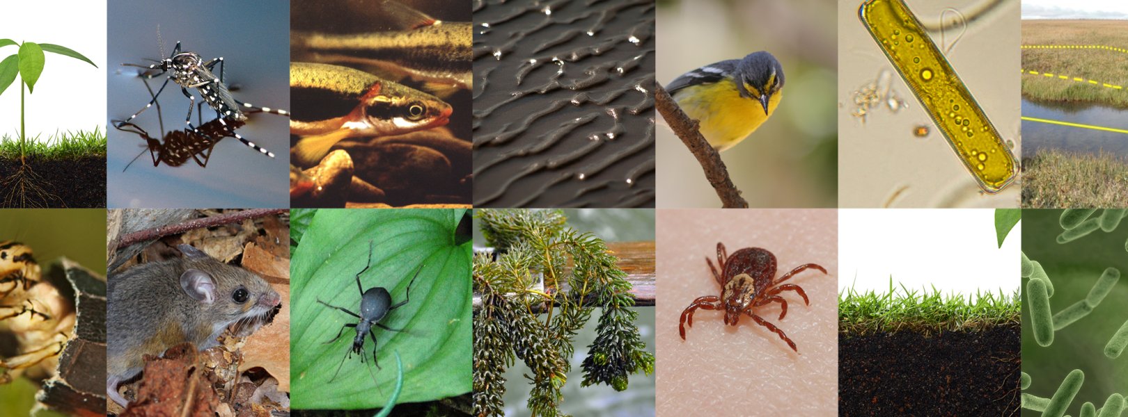
NEON collects a wide range of observations that characterize terrestrial and freshwater plant and animal populations as well as environmental properties and processes.
Sampling Design
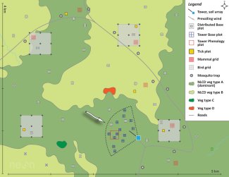
A spatially-balanced sampling design was used to establish observational sampling plots that support site-wide characterization of organismal, community, and biogeochemical dynamics. Learn more about these interconnected designs.
Sampling Schedules
The timing and frequency of aquatic and terrestrial observations vary depending on the measurement type. Processes that are expected to change quickly are sampled more frequently than those with slow rates of change.
Taxonomic Lists
Taxonomic lists are compiled from a variety of published sources for use by field staff. We provide these lists as a reference.
Optimizing the OS Design
The initial observation system designs were developed in collaboration with community experts, and NEON routinely uses available data to statistically evaluate and adjust the designs to better support research, incorporate new technologies, and find efficiencies.