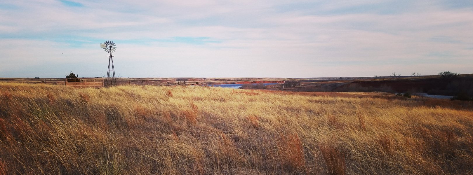
NSF NEON, Operated by Battelle

Main navigation

  • About
    • NEON Overview
      • Vision and Management
      • Spatial and Temporal Design
      • History
    • About the NEON Biorepository
      • ASU Biorepository Staff
      • Contact the NEON Biorepository
    • Observatory Blog
    • Newsletters
    • Staff
    • FAQ
    • Contact Us

    About

  • Data
    • Data Portal
      • Data Availability Charts
      • API & GraphQL
      • Prototype Data
      • Externally Hosted Data
    • Data Collection Methods
      • Airborne Observation Platform (AOP)
      • Instrument System (IS)
        • Instrumented Collection Types
        • Aquatic Instrument System (AIS)
        • Terrestrial Instrument System (TIS)
      • Observational System (OS)
        • Observation Types
        • Observational Sampling Design
        • Sampling Schedules
        • Taxonomic Lists Used by Field Staff
        • Optimizing the Observational Sampling Designs
      • Protocols & Standardized Methods
    • Getting Started with NEON Data
      • neonUtilities for R and Python
      • Learning Hub
      • Code Hub
    • Using Data
      • Data Formats and Conventions
      • Released, Provisional, and Revised Data
      • Data Product Bundles
      • Usage Policies
      • Acknowledging and Citing NEON
      • Publishing Research Outputs
    • Data Notifications
    • NEON Data Management
      • Data Availability
      • Data Processing
      • Data Quality

    Data

  • Samples & Specimens
    • Biorepository Sample Portal at ASU
    • About Samples
      • Sample Types
      • Sample Repositories
      • Megapit and Distributed Initial Characterization Soil Archives
    • Finding and Accessing Sample Data
      • Species Checklists
      • Sample Explorer - Relationships and Data
      • Biorepository API
    • Requesting and Using Samples
      • Loans & Archival Requests
      • Usage Policies

    Samples & Specimens

  • Field Sites
    • Field Site Map and Info
    • Spatial Layers & Printable Maps

    Field Sites

  • Resources
    • Getting Started with NEON Data
    • Research Support Services
      • Field Site Coordination
      • Letters of Support
      • Mobile Deployment Platforms
      • Permits and Permissions
      • AOP Flight Campaigns
      • Research Support FAQs
      • Research Support Projects
    • Code Hub
      • neonUtilities for R and Python
      • Code Resources Guidelines
      • Code Resources Submission
      • NEON's GitHub Organization Homepage
    • Learning Hub
      • Tutorials
      • Workshops & Courses
      • Science Videos
      • Teaching Modules
    • Science Seminars and Data Skills Webinars
    • Document Library
    • Funding Opportunities

    Resources

  • Impact
    • Research Highlights
    • Papers & Publications
    • NEON in the News

    Impact

  • Get Involved
    • Upcoming Events
    • Research and Collaborations
      • Environmental Data Science Innovation and Inclusion Lab
      • Collaboration with DOE BER User Facilities and Programs
      • EFI-NEON Ecological Forecasting Challenge
      • NEON Great Lakes User Group
      • NCAR-NEON-Community Collaborations
    • Advisory Groups
      • Science, Technology & Education Advisory Committee
      • Technical Working Groups
    • NEON Ambassador Program
      • Exploring NEON-Derived Data Products Workshop Series
    • Partnerships
    • Community Engagement
    • Work Opportunities

    Get Involved

  • My Account
  • Search

Search

Field Sites

  • Field Site Map and Info
  • Spatial Layers & Printable Maps

Breadcrumb

  1. Field Sites
  2. Marvin Klemme Range Research Station NEON

Field Site

Marvin Klemme Range Research Station NEON / OAES

brown circle white drop icon

Gradient Terrestrial, OK, D11: Southern Plains

Landscape at the OAES field site

About Field Sites

The Klemme Range Research Station at the Oklahoma Agricultural Experiment Station (OAES) is a terrestrial NEON field site located in western Oklahoma, southwest of Clinton, OK. The site is managed by the Oklahoma State University Division of Agricultural Sciences. The research station consists of 6.3 km2 (1560 acres) of upland prairie in the Rolling Red Plains region of Oklahoma. OAES is part of NEON's Southern Plains Domain (D11), which stretches over the central sections of Texas and Oklahoma and includes portions of southern Kansas and southern New Mexico. D11 has three other NEON field sites, including one additional terrestrial and two aquatic sites, located in Texas and Oklahoma. [1] [3]

Climate

OAES lies in the south Central Plains, a region that straddles the transition from relatively abundant precipitation in the east to semi-arid conditions in the west. The site has a mean average annual temperature of 15.5°C (60°F) and a mean average annual precipitation of 788.85 mm (31 in.). Because the region is located in the interior of the United States, it experiences a wide range of temperatures seasonally and annually. Additionally, precipitation is highly variable from year to year; however, the majority of precipitation falls during the spring and summer months. Severe thunderstorms are common in the area, while tornadoes and severe drought periods also occur, but are not as common. [2] [4] [12]

Geology

The soil parent materials at the OAES site are residuum and colluvium derived from the late Permian age Doxey Formation (shale), which is composed of reddish sandstone and siltstone. Siltstone is present at the OAES site. [9]

Soils

The major soils on the site are the Cordell and Obaro series. The Cordell soils form in residuum and occur on sideslopes of ridges and hills. Obaro soils occur on summits, crests, and shoulders of ridges and hills. Obaro soils form in colluvium and residuum. [9]

Vegetation

The primary crop in the Rolling Red Plains area is wheat. Within the site, the shortgrass prairie is interspersed with pockets of shrubs and small stature oaks. Dominant grasses include buffalo grass (Bouteloua dactyloides) and purple three-awn (Arisda purpurea). Broom snakeweed (Guerrezia sarothrae) comprises the majority of the patchy shrub cover. [1]

Fauna

Animals native to this region of the Unites States include black-tailed prairie dog (Cynomys ludovicianus), swift fox (Vulpes velox), fulvous harvest mouse (Reithrodontomys fulvescens), and black-capped vireo (Vireo atricapilla). The area is also home to the threatened lesser prairie chicken (Tympanuchus pallidicinctus) and the mountain lion (Puma concolor), one of the only large mammals in the region. [5] [6] [7]

Past Land Management and Use

The Hatch Act of 1887 set up a national network of agricultural experiment stations focusing on research that would make American farms more productive. The Oklahoma Territory's legislature followed suit in 1890 by passing an act that established the Oklahoma Agricultural Experiment Station in Stillwater, OK. The research station has been continuously managing projects since its inception. At the end of the twentieth century, the station maintained approximately 250 research projects at any given time. In 1988, Marvin Klemme donated 1000 acres to Oklahoma State University for use agricultural development, research and education. The location was named after Marvin Klemme, a man who dedicated a large part of his life to the preservation and protection of our public lands system. The station was officially established in 1990 and is dedicated to improving range cattle production in western Oklahoma. [3] [10] [11]

Current Land Management and Use

The NEON site OAES is located within the Klemme Research Station, an outlying station designed to meet the agricultural needs of the localities near Bessie, OK. The station focuses on projects that promote the success of agricultural producers while benefiting consumers and conserving natural lands. Oklahoma State University students and faculty conduct ongoing research into a range of areas at the station, including batch burning, pasture and forage improvement, cow-calf and stocker cattle management, and agricultural education. [3] [11]

NEON Site Establishment

Because OAES was already an established research station before NEON began to consider it as a terrestrial site, the workload was fairly small. NEON plots were established in February 2015, and terrestrial sampling began in June of that year.

Additional Resources

[1] Terrestrial Observation System (TOS) Site Characterization Report: Domain 11. NEON.DOC.003894vB

[2] PRISM Climate Group., Oregon State University, http://prism.oregonstate.edu, created 4 Feb 2004.

[3] https://agresearch.okstate.edu/research/

[4] http://www.ogs.ou.edu/pubsscanned/EP9p16_19soil_veg_cl.pdf

[5] https://www.wildlifedepartment.com/wildlife/field-guide/mammals

[6] Cassola, F. 2016. Cynomys ludovicianus (errata version published in 2017). The IUCN Red List of Threatened Species 2016: e.T6091A115080297. https://dx.doi.org/10.2305/IUCN.UK.2016-3.RLTS.T6091A22261137.en. Downloaded on 14 May 2020 https://www.iucnredlist.org/species/6091/115080297#geographic-range

[7] Moehrenschlager, A. & Sovada, M. 2016. Vulpes velox. The IUCN Red List of Threatened Species 2016: e.T23059A57629306. https://dx.doi.org/10.2305/IUCN.UK.2016-3.RLTS.T23059A57629306.en. Downloaded on 14 May 2020 https://www.iucnredlist.org/species/23059/57629306

[8] BirdLife International. 2018. Tympanuchus pallidicinctus. The IUCN Red List of Threatened Species 2018: e.T22679519A131795740. https://dx.doi.org/10.2305/IUCN.UK.2018-2.RLTS.T22679519A131795740.en. Downloaded on 14 May 2020. https://www.iucnredlist.org/species/22679519/131795740

[9] Morley and Kemph. (2019). NEON Site-Level Plot Summary, Klemme Research Station (OAES), May 2019. https://data.neonscience.org/documents/10179/2361410/OAES_Soil_SiteSumm…

[10] https://publicland.org/awards/klemme-marvin/

[11] https://www.okhistory.org/publications/enc/entry.php?entry=AG004

[12] https://statesummaries.ncics.org/chapter/ok/

[13] U.S. Geological Survey, 2005, Mineral Resources Data System: U.S. Geological Survey, Reston, Virginia. https://mrdata.usgs.gov/mrds/

Field Site Information

Latitude/Longitude

35.410599, -99.058779

Geodetic Datum

WGS84

Location

Washita County
OK, US

Elevation

Mean: 519m
Minimum: 487m
Maximum: 531m

Mean Annual Temperature

15.5°C

Dominant Wind Direction

SE

Mean Canopy Height

1.0m

Dominant NLCD Classes

Grassland/Herbaceous, Shrub/Scrub

Colocated Research

Oklahoma State University
Critical Zone Exploration Network
Ameriflux

Field Operations Office

1200 South Woodrow, Suite 100
Denton, TX 76205

Research Access

If your proposed research requires access to field sites where NEON is present, we can help.

Request Access

Observation Types

Remote Sensing

Remote sensing surveys of this field site collect lidar, spectrometer and high-resolution RGB camera data.

Meteorological Measurements

This site has a flux/meteorological tower that is 8 m (26 ft) tall with four measurement levels. The tower top extends above the vegetation canopy to allow sensors mounted at the top and along the tower to capture the full profile of atmospheric conditions from the top of the vegetation canopy to the ground. The tower collects physical and chemical properties of atmosphere-related processes, such as humidity, wind, and net ecosystem gas exchange. Precipitation data are collected by a tipping bucket at the top of the tower.

Phenocams

One phenocam is attached to the top and the bottom of the tower. Here we show the images from the most recent hour. The full collection of images can be viewed on the Phenocam Gallery - click on either of the images below.

Tower top

NEON.D11.OAES.DP1.10033

Tower bottom

NEON.D11.OAES.DP1.10042

Soil Sensor Measurements

This site has five soil plots placed in an array within the airshed of the flux tower. Photosynthetically Active Radiation (PAR) at soil surface, soil heat flux, and solar radiation are measured at the soil surface in each soil plot. Soil moisture, soil temperature, and CO2 concentration are measured at multiple depths in each soil plot.

Observational Sampling

At terrestrial sites, field ecologists observe birds and plants, and sample ground beetles, mosquitoes, small mammals, soil microbes, and ticks. Lab analyses are carried out to provide further data on DNA sequences, pathogens, soils, sediments, and biogeochemistry. Learn more about terrestrial observations or explore this site's data products.


Field Site Data

Site

Site Host

Oklahoma State University

Site URL

http://oaes.okstate.edu/

Site Access Details

Please coordinate efforts with the site manager.

Operations Office

NEON Field Operations Office

Domain 11 Support Facility

NEON Field Operations Address

1200 South Woodrow, Suite 100
Denton, TX 76205

NEON Field Operations Phone

940.222.4259

Location

Latitude

35.410599

Longitude

-99.058779

Geodetic Datum

WGS84

UTM Northing

3918579.07m

UTM Easting

494662.25m

UTM Zone

14N

County

Washita

State

OK

Country

US

Mean Elevation

519m

Minimum Elevation

487m

Maximum Elevation

531m

Terrestrial Sampling Boundary Area

6.21km^2

Climate

Mean Annual Temperature

15.5°C

Mean Annual Precipitation

779mm

Dominant Wind Direction

SE

Vegetation

Mean Canopy Height

1.0m

Dominant NLCD Classes

Grassland/Herbaceous, Shrub/Scrub

Average number of green days

240

Average first greenness increase date

70 DOY

Average peak green date

135 DOY

Average first greenness decrease date

165 DOY

Average minimum greenness date

225; 310 DOY

Tower

Tower Height

8m

Number of Tower Levels

4

Soils

Megapit Soil Family

Loamy - mixed - active - thermic Lithic Haplustepts

Soil Subgroup

Lithic Haplustepts


Gallery

  • Photos
  • Videos

Related Field Sites

Other Domain D11 Field Sites

blue circle white drop icon Blue River NEON
Gradient Aquatic
brown square white mountain icon Lyndon B. Johnson National Grassland NEON
Core Terrestrial
blue square white drop icon Pringle Creek NEON
Core Aquatic

Other Field Sites in OK

blue circle white drop icon Blue River NEON
Gradient Aquatic
NSF NEON, Operated by Battelle

Follow Us:

Join Our Newsletter

Get updates on events, opportunities, and how NEON is being used today.

Subscribe Now

Footer

  • About Us
  • Contact Us
  • Terms & Conditions
  • Careers
  • Code of Conduct

Copyright © Battelle, 2026

The National Ecological Observatory Network is a major facility fully funded by the U.S. National Science Foundation.

Any opinions, findings and conclusions or recommendations expressed in this material do not necessarily reflect the views of the U.S. National Science Foundation.