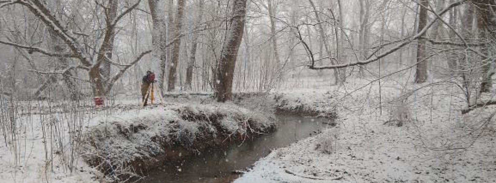
NSF NEON, Operated by Battelle

Main navigation

  • About Us
    • Overview
      • Spatial and Temporal Design
      • History
    • Vision and Management
    • Advisory Groups
      • Science, Technology & Education Advisory Committee
      • Technical Working Groups (TWGs)
    • FAQ
    • Contact Us
      • Contact NEON Biorepository
      • Field Offices
    • User Accounts
    • Staff
    • Code of Conduct

    About Us

  • Data & Samples
    • Data Portal
      • Explore Data Products
      • Data Availability Charts
      • Spatial Data & Maps
      • Document Library
      • API & GraphQL
      • Prototype Data
      • External Lab Data Ingest (restricted)
    • Data Themes
      • Biogeochemistry
      • Ecohydrology
      • Land Cover and Processes
      • Organisms, Populations, and Communities
    • Samples & Specimens
      • Discover and Use NEON Samples
        • Sample Types
        • Sample Repositories
        • Sample Explorer
        • Megapit and Distributed Initial Characterization Soil Archives
      • Sample Processing
      • Sample Quality
      • Taxonomic Lists
    • Collection Methods
      • Protocols & Standardized Methods
      • Airborne Remote Sensing
        • Flight Box Design
        • Flight Schedules and Coverage
        • Daily Flight Reports
          • AOP Flight Report Sign Up
        • Camera
        • Imaging Spectrometer
        • Lidar
      • Automated Instruments
        • Site Level Sampling Design
        • Sensor Collection Frequency
        • Instrumented Collection Types
          • Meteorology
          • Phenocams
          • Soil Sensors
          • Ground Water
          • Surface Water
      • Observational Sampling
        • Site Level Sampling Design
        • Sampling Schedules
        • Observation Types
          • Aquatic Organisms
            • Aquatic Microbes
            • Fish
            • Macroinvertebrates & Zooplankton
            • Periphyton, Phytoplankton, and Aquatic Plants
          • Terrestrial Organisms
            • Birds
            • Ground Beetles
            • Mosquitoes
            • Small Mammals
            • Soil Microbes
            • Terrestrial Plants
            • Ticks
          • Hydrology & Geomorphology
            • Discharge
            • Geomorphology
          • Biogeochemistry
          • DNA Sequences
          • Pathogens
          • Sediments
          • Soils
            • Soil Descriptions
        • Optimizing the Observational Sampling Designs
    • Data Notifications
    • Data Guidelines and Policies
      • Acknowledging and Citing NEON
      • Publishing Research Outputs
      • Usage Policies
    • Data Management
      • Data Availability
      • Data Formats and Conventions
      • Data Processing
      • Data Quality
      • Data Product Bundles
      • Data Product Revisions and Releases
        • Release 2021
        • Release 2022
        • Release 2023
        • Release 2024
        • Release-2025
      • NEON and Google
      • Externally Hosted Data

    Data & Samples

  • Field Sites
    • About Field Sites and Domains
    • Explore Field Sites
    • Site Management Data Product

    Field Sites

  • Impact
    • Observatory Blog
    • Case Studies
    • Papers & Publications
    • Newsroom
      • NEON in the News
      • Newsletter Archive
      • Newsletter Sign Up

    Impact

  • Resources
    • Getting Started with NEON Data & Resources
    • Documents and Communication Resources
      • Papers & Publications
      • Document Library
      • Outreach Materials
    • Code Hub
      • Code Resources Guidelines
      • Code Resources Submission
      • NEON's GitHub Organization Homepage
    • Learning Hub
      • Science Videos
      • Tutorials
      • Workshops & Courses
      • Teaching Modules
    • Research Support Services
      • Field Site Coordination
      • Letters of Support
      • Mobile Deployment Platforms
      • Permits and Permissions
      • AOP Flight Campaigns
      • Research Support FAQs
      • Research Support Projects
    • Funding Opportunities

    Resources

  • Get Involved
    • Advisory Groups
      • Science, Technology & Education Advisory Committee
      • Technical Working Groups
    • Upcoming Events
    • NEON Ambassador Program
      • Exploring NEON-Derived Data Products Workshop Series
    • Research and Collaborations
      • Environmental Data Science Innovation and Inclusion Lab
      • Collaboration with DOE BER User Facilities and Programs
      • EFI-NEON Ecological Forecasting Challenge
      • NEON Great Lakes User Group
      • NEON Science Summit
      • NCAR-NEON-Community Collaborations
        • NCAR-NEON Community Steering Committee
    • Community Engagement
      • How Community Feedback Impacts NEON Operations
    • Science Seminars and Data Skills Webinars
      • Past Years
    • Work Opportunities
      • Careers
      • Seasonal Fieldwork
      • Internships
        • Intern Alumni
    • Partners

    Get Involved

  • My Account
  • Search

Search

Field Sites

  • About Field Sites and Domains
  • Explore Field Sites
  • Site Management Data Product

Breadcrumb

  1. Field Sites
  2. Lewis Run NEON

Field Site

Lewis Run NEON / LEWI

blue circle white drop icon

Gradient Aquatic, VA, D02: Mid-Atlantic

Geomorphology survey at the Lewis Run (LEWI) aquatic field site.

About Field Sites

Lewis Run (LEWI) is an aquatic NEON field site located about 60 miles west of Washington, D.C. in Clarke County, Virginia. Lewis Run is a small wadeable stream that drains a 11.9 km2 (2940 acre) watershed. The majority of the stream reach flows past and through land managed by Casey Trees, a nonprofit organization that raises trees for planting in and around the Washington, D.C. area. The surrounding region is characterized by general land use types including successional fields, pastures, woodlands, and small ponds. This site is located within NEON's Mid-Atlantic Domain (D02), a densely populated region bounded by the Atlantic Ocean on the east and stretching down the Eastern Seaboard from southern New Jersey to northern Georgia. The Mid-Atlantic Domain includes one other aquatic site and two terrestrial sites. LEWI is located near the BLAN terrestrial site. [1] [2]

Climate

The climate here is temperate and humid, with annual mean temperatures of 12.2°C (54°F). The coldest month of the year is January with an average temperature of -1.8°C (28.76°F), while July is the warmest month with an average temperature of 23.3°C (73.94°F). On average, this location gets a total of 976 mm (38 in.) of precipitation annually. May is the wettest month with an average monthly precipitation of 114.3 mm (4.5 in.) and February is the driest with only 63.5 mm (2.5 in.) of precipitation. [8] [9]

Geology

Lewis Run is located on land that is part of the Elbrook Formation. This formation is characterized by the presence of limestone, dolomite, shale, and siltstone. [3] [4]

Soils

The substrate of Lewis Run consists of gravel, soft sands, and silt. Probing at the stream during site characterization in January 2016 showed significant portions of the stream channel where very soft, unconsolidated deposits of silt are present. Unconsolidated silt deposits range in depth from a few centimeters to over half a meter throughout the entire stream reach surveyed. [1]

Hydrology

Lewis Run is a small 2nd-order wadeable stream. The stream banks at LEWI on average are very steep and actively eroding, resulting in significant portions of the stream channel containing unconsolidated deposits of silt. Unconsolidated silt deposits range in depth from a few centimeters to over half a meter throughout the entire stream reach. The stream’s substrate composition is gravel, soft sands, and silt. [1]

Vegetation

Riparian vegetation at LEWI is comprised of moderately spaced, largely mature oak and poplar trees with moderately dense ground cover of tall grasses and briar bushes. Vegetation is largely dormant during the winter and fall months, with dense vegetation growing near the stream channel in the spring and summer. [1]

Fauna

Common fish species found in Lewis Run are Potomac sculpin (Cottus girardi), Creek chub (Semotilus atromaculatus), Eastern blacknose dace (Rhinichthys atratulus), and Rosyside dace (Clinostomus funduloides). The area Lewis Run is located in is home to a variety of terrestrial fauna as well. Some notable species include black bear (Ursus americanus), bobcat (Lynx rufus), white tailed deer (Odocoileus virginianus), red fox (Vulpes vulpes), and beavers (Castor canadensis). [6] [7]

Past Land Management and Use

The majority of Lewis Run flows through the Casey Tree Farm property, a 2.95 km2 (730 acre) tract of land located in Clarke County, Virginia. Casey Trees is a nonprofit organization based in Washington, D.C. Their mission is to protect, restore, and enhance the tree canopy in the nation’s capital. The 730 acres of land and its existing structures were gifted to Casey Trees in 2008. In 2011, Casey Trees started their own nursey to grow trees that are not readily available commercially. Originally in the 1600s, the land was part of a 5 million acre estate owned by Lord Thomas Fairfax, 6th Lord of Fairfax of Cameron. Over time, the 5 million acres were subdivided and sold; upon Thomas Fairfax’s death in 1671 the Commonwealth of Virginia confiscated the remaining land and sold it to the public. In 1933, much of the land that would become Casey Trees Farm was bequeathed by Charles McCormick’s family to All Saints Episcopal Church. The church then sold the land to Marie and George Greenhalgh. From 1935 to 1937, the Greenhalghs would buy additional properties and assemble them into the 730-acre tract that exists today. Eugene and Betty Brown Casey purchased the farm in 1958 from the Greenhalghs with the intention of using it as a summer home. In 2002, Betty Brown Casey founded the nonprofit Casey Trees, and in 2008, she donated the property to Casey Trees. [2]

Current Land Management and Use

Lewis Run is nestled on a 2.95 km2 (730 acre) tract of mixed agriculture and woodlands owned by the Casey Trees organization. Casey Trees uses the property primarily as a tree nursery to accomplish their mission of restoring, enhancing, and protecting tree canopy in Washington, D.C. The nursery focuses on using innovative growing and irrigating techniques to cultivate tree species not readily available commercially. In addition to the nursery, the property includes historic buildings, gardens, and hay fields. [2]

NEON Site Establishment

Site characterization was completed for Lewis Run at the end of May 2016. By early October 2016, the site readiness review was complete. AOS data collection at Lewis Run started in February 2017 and AIS data collection started in June 2017.

Additional Resources

[1]Aquatic Instrument System (AIS) Site Characterization Report: Domain 02. NEON.DOC.001589vB

[2]Casey Tree Farm. (2019, June 12). Retrieved from https://caseytrees.org/about-us/casey-tree-farm/

[3] U.S. Geological Survey, 2005, Mineral Resources Data System: U.S. Geological Survey, Reston, Virginia. https://mrdata.usgs.gov/mrds/

[4] Hubbard, D. A. (1990). Geologic map of Clarke County, Virginia (102). Retrieved from https://ngmdb.usgs.gov/Prodesc/proddesc_39813.htm

[5] Nelms, D. L., & Moberg, R. M. (2010). Preliminary Assessment of the Hydrogeology and Groundwater Availability in the Metamorphic and Siliciclastic Fractured-Rock Aquifer Systems of Warren County, Virginia. Retrieved from https://pubs.usgs.gov/sir/2010/5190/pdf/sir2010-5190.pdf

[6] NEON (National Ecological Observatory Network). 2020. Data Product DP1.20107.001, Fish electrofishing, gill netting, and fyke netting counts. Provisional data downloaded from http://data.neonscience.org on May 8, 2020.

[7] Wildlife Information, Virginia DGIF. (2020). Retrieved from https://www.dgif.virginia.gov/wildlife/information/

[8] PRISM Climate Group, Oregon State University, http://prism.oregonstate.edu, created 4 Feb 2004.

[9] Nelms, D. L., & Moberg Jr., R. M. (2005). Hydrogeology and groundwater availability in Clarke County, VA: U.S. Geological Survey Scientific Investigations Report 2010-5112. 119 p. Retrieved from https://pubs.usgs.gov/sir/2010/5112/pdf/sir20105112.pdf.

Field Site Information

Latitude/Longitude

39.095637, -77.983216

Geodetic Datum

WGS84

Location

Clarke County
VA, US

Elevation

Mean: 152m

Mean Annual Temperature

12.2°C

Dominant NLCD Classes

Deciduous Forest

Colocated Site(s)

Blandy Experimental Farm NEON

Field Operations Office

1500 Remount Road
MRC 5560, Bldg 90
Front Royal, VA 22630

Research Access

Non-NEON research activities are allowed in this area. Researchers must obtain their own permits with the site host(s).

Request Access

Observation Types

Remote Sensing

Remote sensing surveys of this field site collect lidar, spectrometer and high-resolution RGB camera data.

Meteorological Measurements

This site has one meteorological station located in the riparian area. The met station is outfitted with a subset of the same sensors used at terrestrial sites. Measurements include wind speed and direction, air temperature, barometric pressure, relative humidity, shortwave radiation, and PAR.

Phenocams

A phenocam is pointed toward the land-water interface of the site. Here we show the images from the most recent hour. The full collection of images can be viewed on the Phenocam Gallery - click on the image below.

NEON.D02.LEWI.DP1.20002


Field Site Data

Site

Site Host

Casey Tree Farm

Site Access Allowed

Limited

Site URL

https://caseytrees.org/about-us/casey-tree-farm/

Site Access Details

Research on the Casey Tree Farm is limited - coordination required with farm management.

Operations Office

NEON Field Operations Office

Domain 02 Support Facility

NEON Field Operations Address

1500 Remount Road
MRC 5560, Bldg 90
Front Royal, VA 22630

NEON Field Operations Phone

540.692.1919

Location

Latitude

39.095637

Longitude

-77.983216

Geodetic Datum

WGS84

UTM Northing

4331627.28m

UTM Easting

242002.14m

UTM Zone

18N

County

Clarke

State

VA

Country

US

Mean Elevation

152m

Climate

Mean Annual Temperature

12.2°C

Mean Annual Precipitation

976mm

Vegetation

Dominant NLCD Classes

Deciduous Forest

Average minimum greenness date

BLAN DOY

Watershed

USGS HUC

h02070007

Watershed Name

Shenandoah

Geology

USGS Geology Unit

VACAe;0

USGS Geology Name

Elbrook Formation

USGS Lithologic Constituents

Dolostone and limestone with lesser shale and siltstone

USGS Geology Age

Cambrian


Gallery

  • Photos
  • Videos

No Video


Related Field Sites

Other Domain D02 Field Sites

brown circle white drop icon Blandy Experimental Farm NEON
Gradient Terrestrial
blue square white drop icon Posey Creek NEON
Core Aquatic
brown square white mountain icon Smithsonian Conservation Biology Institute NEON
Core Terrestrial
brown circle white drop icon Smithsonian Environmental Research Center NEON
Gradient Terrestrial

Other Field Sites in VA

brown circle white drop icon Blandy Experimental Farm NEON
Gradient Terrestrial
brown circle white drop icon Mountain Lake Biological Station NEON
Gradient Terrestrial
blue square white drop icon Posey Creek NEON
Core Aquatic
brown square white mountain icon Smithsonian Conservation Biology Institute NEON
Core Terrestrial
NSF NEON, Operated by Battelle

Follow Us:

Join Our Newsletter

Get updates on events, opportunities, and how NEON is being used today.

Subscribe Now

Footer

  • About Us
  • Newsroom
  • Contact Us
  • Terms & Conditions
  • Careers
  • Code of Conduct

Copyright © Battelle, 2025

The National Ecological Observatory Network is a major facility fully funded by the U.S. National Science Foundation.

Any opinions, findings and conclusions or recommendations expressed in this material do not necessarily reflect the views of the U.S. National Science Foundation.