NSF NEON, Operated by Battelle

Main navigation

  • About
    • NEON Overview
      • Vision and Management
      • Spatial and Temporal Design
      • History
    • About the NEON Biorepository
      • ASU Biorepository Staff
      • Contact the NEON Biorepository
    • Observatory Blog
    • Newsletters
    • Staff
    • FAQ
    • Contact Us

    About

  • Data
    • Data Portal
      • Data Availability Charts
      • API & GraphQL
      • Prototype Data
      • Externally Hosted Data
    • Data Collection Methods
      • Airborne Observation Platform (AOP)
      • Instrument System (IS)
        • Instrumented Collection Types
        • Aquatic Instrument System (AIS)
        • Terrestrial Instrument System (TIS)
      • Observational System (OS)
        • Observation Types
        • Observational Sampling Design
        • Sampling Schedules
        • Taxonomic Lists Used by Field Staff
        • Optimizing the Observational Sampling Designs
      • Protocols & Standardized Methods
    • Getting Started with NEON Data
      • neonUtilities for R and Python
      • Learning Hub
      • Code Hub
    • Using Data
      • Data Formats and Conventions
      • Released, Provisional, and Revised Data
      • Data Product Bundles
      • Usage Policies
      • Acknowledging and Citing NEON
      • Publishing Research Outputs
    • Data Notifications
    • NEON Data Management
      • Data Availability
      • Data Processing
      • Data Quality

    Data

  • Samples & Specimens
    • Biorepository Sample Portal at ASU
    • About Samples
      • Sample Types
      • Sample Repositories
      • Megapit and Distributed Initial Characterization Soil Archives
    • Finding and Accessing Sample Data
      • Species Checklists
      • Sample Explorer - Relationships and Data
      • Biorepository API
    • Requesting and Using Samples
      • Loans & Archival Requests
      • Usage Policies

    Samples & Specimens

  • Field Sites
    • Field Site Map and Info
    • Spatial Layers & Printable Maps

    Field Sites

  • Resources
    • Getting Started with NEON Data
    • Research Support Services
      • Field Site Coordination
      • Letters of Support
      • Mobile Deployment Platforms
      • Permits and Permissions
      • AOP Flight Campaigns
      • Research Support FAQs
      • Research Support Projects
    • Code Hub
      • neonUtilities for R and Python
      • Code Resources Guidelines
      • Code Resources Submission
      • NEON's GitHub Organization Homepage
    • Learning Hub
      • Tutorials
      • Workshops & Courses
      • Science Videos
      • Teaching Modules
    • Science Seminars and Data Skills Webinars
    • Document Library
    • Funding Opportunities

    Resources

  • Impact
    • Research Highlights
    • Papers & Publications
    • NEON in the News

    Impact

  • Get Involved
    • Upcoming Events
    • Research and Collaborations
      • Environmental Data Science Innovation and Inclusion Lab
      • Collaboration with DOE BER User Facilities and Programs
      • EFI-NEON Ecological Forecasting Challenge
      • NEON Great Lakes User Group
      • NCAR-NEON-Community Collaborations
    • Advisory Groups
      • Science, Technology & Education Advisory Committee
      • Technical Working Groups
    • NEON Ambassador Program
      • Exploring NEON-Derived Data Products Workshop Series
    • Partnerships
    • Community Engagement
    • Work Opportunities

    Get Involved

  • My Account
  • Search

Search

Field Sites

  • Field Site Map and Info
  • Spatial Layers & Printable Maps

Breadcrumb

  1. Field Sites
  2. McDiffett Creek NEON

Field Site

McDiffett Creek NEON / MCDI

blue circle white drop icon

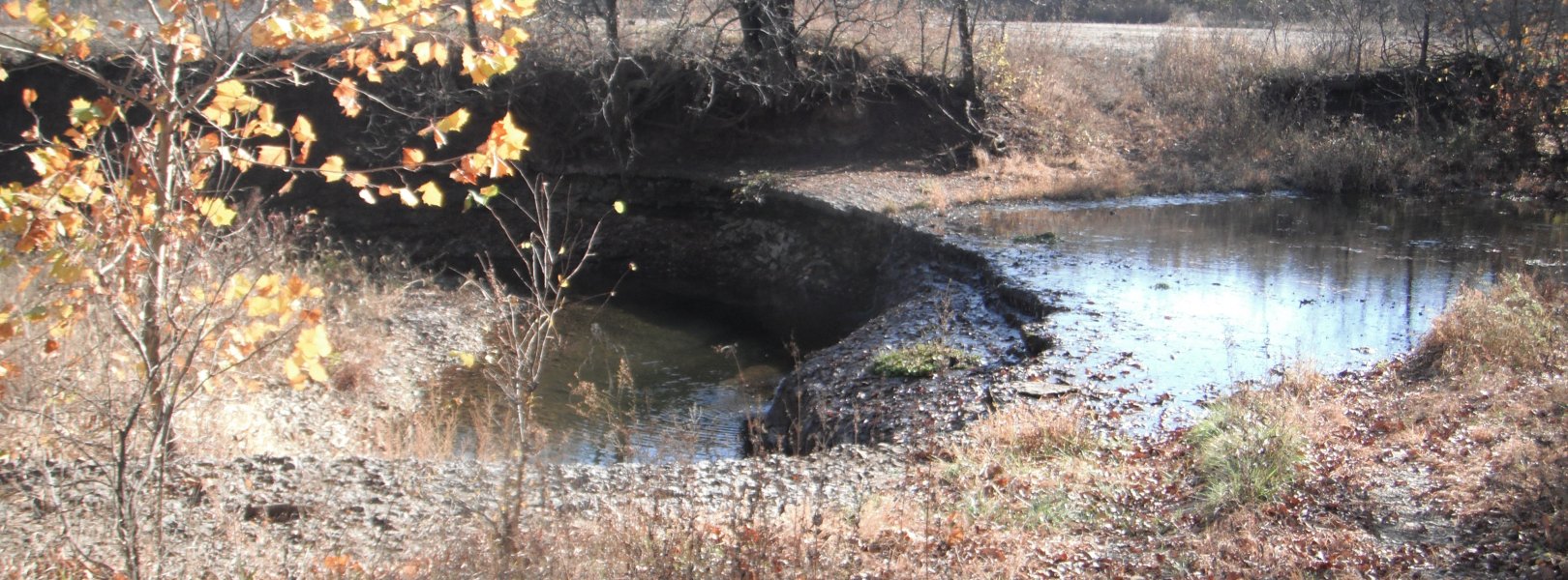
Gradient Aquatic, KS, D06: Prairie Peninsula

McDiffett Creek (MCDI) field site in Kansas

About Field Sites

McDiffett Creek (MCDI) is an aquatic NEON field site located in the Flint Hills region of Kansas south of Manhattan, KS. It is within the Urban Prairie Research Area, approximately 25 km (15 mi.) southeast of the KONZ tower. It is a second-order perennial stream flowing through the middle of agricultural land. The Urban Prairie Research Area is a small tract of land composed of native prairie, grazing, hay, and historically cultivated fields. It is managed by the Konza Prairie Biological Station in association with Kansas State University. The surrounding region consists of grasslands, forests, and agricultural land cover types and includes the largest remaining areas of unplowed tallgrass prairie in North America. MCDI is part of the NEON Prairie Peninsula Domain (D06), which stretches from Kansas through Nebraska and Iowa to southern Minnesota, and moves east to encompass Illinois and most of Indiana. The Domain hosts four other NEON field sites: one other aquatic and three terrestrial, all of which are located in Kansas. Land use and land use management are key grand challenge themes for this Domain. [1] [2]

Climate

The climate of MCDI is characterized by warm, wet and humid summers and cold, dry winters. July tends to be the hottest month with highs around 32°C (90°F) and lows around 19°C (66°F). While July is the hottest month, June tends to be the wettest with average precipitation of 141 mm (5.5 in.). January is both the coldest and driest month with average highs around 4°C (39°F), lows of -7°C (19°F), and precipitation around 20 mm (0.8 in.). The average annual temperature is 12.2°C (54°F), and the average annual precipitation is 921mm (36.3in). Because of a warm moist air current flowing up from the Gulf of Mexico, the Flint Hills region experiences high-volume precipitation events as well as convectional thunderstorms and tornadic activity. [1] [8] [9] [11]

Geology

The geology at MCDI can be characterized as metavolcanic bedrock. [10]

Soils

The soil at MCDI is classified as Ivan silt loam that is occasionally flooded. This classification is characterized as being a fine-silty, mixed, superactive, and having a Cumulic Hapludolls taxonomic classification. [5]

Hydrology

McDiffett Creek is a second-order perennial stream flowing through the middle of typical Kansas crop land. The stream includes a small waterfall at the top of the reach with a large pool and several other riffle and pool segments. [1]

Vegetation

The riparian area adjacent to McDiffett Creek consists of steep banks lined with a forest buffer and is located within a historically farmed field with regular crop rotation. Grasses, woody shrubs, and larger timber are present in the riparian zone. A mix of small woody species, small herbaceous, and some invasive vetch are present within the channel. [1]

Fauna

The fauna of the region consists of many different types of species including white-tailed deer (Odocoileus virginiaus), bobcat (Lynx rufus) and coyote (Canis latrans). The Flint Hills region also represents an important habitat for grassland nesting birds including the greater prairie chicken (Tympanuchus cupido), eastern meadowlark (Sturnella magna), and upland sandpiper (Batramia longicauda). Additionally, the area hosts a variety of snakes, turtles, and amphibians. McDiffett Stream is also home to several species of non-game fish, which include fish from the families of Ictaluridae, Cyprinidae, Percidae, and Centrachidae. The most notable non-game species found in the creek is the endangered Topeka shiner (Notropis topeka). [4] [6] [7]

Past Land Management and Use

Historically the area was comprised of cultivated fields in which various crops including corn, wheat, and soybeans were rotated. [4]

Current Land Management and Use

MCDI is managed by Kansas State University, the KSU Charitable Real Estate Foundation, and The Nature Conservancy. The stream is located between agricultural fields and native prairie pastures. The agricultural fields are rotated with multiple crops including corn, wheat, and soybeans. The native prairie pastures are regularly hayed and burned. Both the agriculture fields and the pastures are grazed by cattle over the winter. [1] [3] [4]

NEON Site Establishment

Site establishment for MCDI started in early 2016 and was completed by late 2017. Observation systems were operational in June 2017 while instrumentation started full operations in November 2017.

Additional Resources

[1] Aquatic Instrument System (AIS) Site Characterization Report: Domain 06 NEON.DOC.001858vB

[2] Terrestrial Observation System (TOS) Site Characterization Report: Domain 06 NEON.DOC.003890vB

[3] Ecological Observation and Access Agreement D06_MCDI_LUA_2016

[4] Konza Prairie Biological Station: The Urban’s Prairie Research Area. (2018) Kansas State University. Retrieved from, https://kpbs.konza.k-state.edu/location/urban.html

[5] Web Soil Survey (2019) United States Department of Agriculture. Retrieved from https://websoilsurvey.sc.egov.usda.gov/App/WebSoilSurvey.aspx

[6] Flint Hills: Animals and Plants (2013) Unites States Fish and Wildlife Service. Retrieved from, https://www.fws.gov/nwrs/threecolumn.aspx?id=2147515968

[7] Important Bird Areas: Flint Hills Region, Kansas. The National Audubon Society. Retrieved from, https://www.audubon.org/important-bird-areas/flint-hills-region

[8] LPP, Flint Hiss legacy Conservation Area, KS: Area Description and Resources. United States Fish and Wildlife Service. Retrieved from, https://www.fws.gov/mountain-prairie/refuges/lpp_PDFs/flh_lpp_final_ch2…

[9] Time Series Values for Individual Locations: 30-year normal 1981-2010 (2020) Prism Climate Group. Retrieved from, http://www.prism.oregonstate.edu/explorer/

[10] U.S. Geological Survey, 2005, Mineral Resources Data System: U.S. Geological Survey, Reston, Virginia. https://mrdata.usgs.gov/mrds/

[11] PRISM Climate Group., Oregon State University, http://prism.oregonstate.edu, created 4 Feb 2004.

Field Site Information

Latitude/Longitude

38.945861, -96.443022

Geodetic Datum

WGS84

Location

Wabaunsee County
KS, US

Elevation

Mean: 396m

Mean Annual Temperature

12.2°C

Dominant NLCD Classes

Cultivated Crops, Grassland/Herbaceous

Field Operations Office

1500 Hayes Drive
Manhattan, KS 66502

Research Access

If your proposed research requires access to field sites where NEON is present, we can help.

Request Access

Observation Types

Remote Sensing

Remote sensing surveys of this field site collect lidar, spectrometer and high-resolution RGB camera data.

Meteorological Measurements

This site has one meteorological station located in the riparian area. The met station is outfitted with a subset of the same sensors used at terrestrial sites. Measurements include wind speed and direction, air temperature, barometric pressure, relative humidity, shortwave radiation, and PAR.

Phenocams

A phenocam is pointed toward the land-water interface of the site. Here we show the images from the most recent hour. The full collection of images can be viewed on the Phenocam Gallery - click on the image below.

NEON.D06.MCDI.DP1.20002


Field Site Data

Site

Site Host

Konza Prairie Biological Station

Site URL

https://kpbs.konza.k-state.edu/scientist-information/permits.html

Site Access Details

The Nature Conservancy and Konza Prairie Biological Station (KSU) encourages research at this site that fits with their mission and is within their abilities as a host. Please request site access at least two weeks prior to any planned work.

Operations Office

NEON Field Operations Office

Domain 06 Support Facility

NEON Field Operations Address

1500 Hayes Drive
Manhattan, KS 66502

NEON Field Operations Phone

785.789.3402

Location

Latitude

38.945861

Longitude

-96.443022

Geodetic Datum

WGS84

UTM Northing

4313704.71m

UTM Easting

721693.85m

UTM Zone

14N

County

Wabaunsee

State

KS

Country

US

Mean Elevation

396m

Climate

Mean Annual Temperature

12.2°C

Mean Annual Precipitation

921mm

Vegetation

Dominant NLCD Classes

Cultivated Crops, Grassland/Herbaceous

Watershed

USGS HUC

h10270102

Watershed Name

Middle Kansas

Geology

USGS Geology Unit

KSPc;0

USGS Geology Name

Chase Group

USGS Lithologic Constituents

Shale and limestone

USGS Geology Age

Early Permian to Gearyan


Gallery

  • Photos
  • Videos

No Video


Related Field Sites

Other Domain D06 Field Sites

blue square white drop icon Kings Creek NEON
Core Aquatic
brown circle white drop icon Konza Prairie Agroecosystem NEON
Gradient Terrestrial
brown square white mountain icon Konza Prairie Biological Station NEON
Core Terrestrial
brown circle white drop icon University of Kansas Field Station NEON
Gradient Terrestrial

Other Field Sites in KS

blue square white drop icon Kings Creek NEON
Core Aquatic
brown circle white drop icon Konza Prairie Agroecosystem NEON
Gradient Terrestrial
brown square white mountain icon Konza Prairie Biological Station NEON
Core Terrestrial
brown circle white drop icon University of Kansas Field Station NEON
Gradient Terrestrial
NSF NEON, Operated by Battelle

Follow Us:

Join Our Newsletter

Get updates on events, opportunities, and how NEON is being used today.

Subscribe Now

Footer

  • About Us
  • Contact Us
  • Terms & Conditions
  • Careers
  • Code of Conduct

Copyright © Battelle, 2026

The National Ecological Observatory Network is a major facility fully funded by the U.S. National Science Foundation.

Any opinions, findings and conclusions or recommendations expressed in this material do not necessarily reflect the views of the U.S. National Science Foundation.