Data Collection Methods
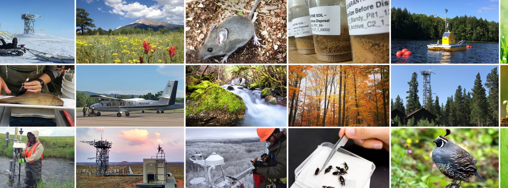
NEON collects data and samples using an extensive network of thousands of automated instruments and hundreds of field technicians, as well as though airborne remote sensing. Where logistically possible, NEON colocates terrestrial and aquatic sites within the same watershed to capture connections across atmospheric, terrestrial, and aquatic ecosystems. At all field sites, data are collected to characterize the weather and climate, land cover, and organisms of the surrounding ecosystem.
Three categories of data are recorded and processed, each through a unique collection and processing system: Airborne Remote Sensing is conducted with the Airborne Observation Platform (AOP), automated instrument data are collected through the Instrumented System (IS), and observational sampling data and physical samples are collected through the Observational System (OS). Collection methods are standardized and well documented to ensure long term comparability of patterns and processes across NEON sites and over time.
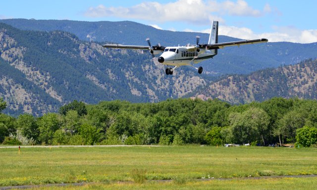
Airborne Observation Platform (AOP)
The AOP a synergistic array of Earth observation instruments -- including a lidar, imaging spectrometer, and a high-resolution digital camera -- installed into a light aircraft designed to collect high resolution remote sensing data at low altitude.
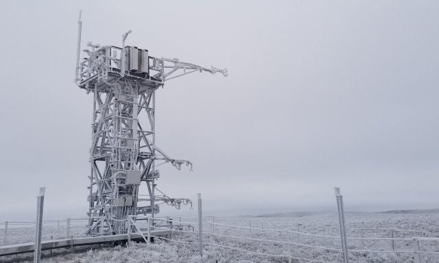
Instrumented Systems (IS)
NEON deploys automated instruments to collect meteorological, soil, phenological, surface water, and groundwater data at field sites.
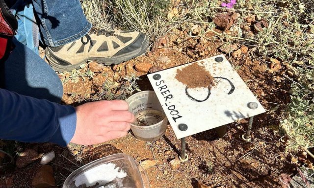
Observation System (OS)
NEON field scientists collect a wide variety of observations and samples at terrestrial and aquatic field sites at regular intervals throughout the year.
Protocols & Standardized Methods
The success of NEON relies upon standardized and quality-controlled data collection methods and processing systems. NEON scientists collaborate with technical working groups to develop and document science designs and protocols for data collection infrastructure and observations and samples collected at field sites.