Field Site
Caribou Creek NEON / CARI
Core Aquatic, AK, D19: Taiga
Observation Types
Remote Sensing
Remote sensing surveys of this field site collect lidar, spectrometer and high-resolution RGB camera data.
Meteorological Measurements
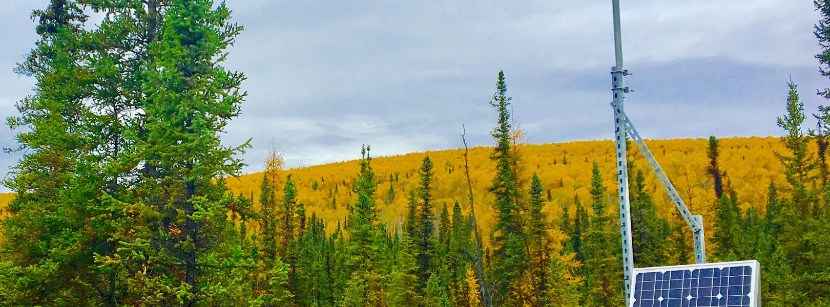
This site has a meteorological station located in the riparian area. The met station is outfitted with a subset of the same sensors used at terrestrial sites. Measurements include wind speed and direction, air temperature, barometric pressure, relative humidity, shortwave radiation, and PAR.
Phenocams
A phenocam is pointed toward the land-water interface of the site. Here we show the images from the most recent hour. The full collection of images can be viewed on the Phenocam Gallery - click on the image below.

Field Site Data
Site
Site Host
Alaska Department of Natural Resources
Site Access Allowed
Yes
Site URL
Site Access Details
NEON site is colocated with Boreal LTER. Please allow extra lead time (3-6 months prior to planned start) for coordination requirements; coordinate with site manager
Site Host
University of Alaska
Site URL
Operations Office
NEON Field Operations Office
Domain 18/19 Support Facility
NEON Field Operations Address
3352 College Rd.
Fairbanks, AK 99709
NEON Field Operations Phone
907.459.5040
Location
Latitude
65.153224
Longitude
-147.50397
Geodetic Datum
WGS84
UTM Northing
7225606.73m
UTM Easting
476441.52m
UTM Zone
6N
County
Fairbanks North Star
State
AK
Country
US
Mean Elevation
225m
Climate
Mean Annual Temperature
-3.0°C
Mean Annual Precipitation
262mm
Vegetation
Dominant NLCD Classes
Woody Wetlands
Average number of green days
115
Average first greenness increase date
135 DOY
Average peak green date
180 DOY
Average first greenness decrease date
210 DOY
Average minimum greenness date
250 DOY
Watershed
USGS HUC
Watershed Name
Tolovana River
Geology
USGS Geology Unit
USGS Geology Name
Unconsolidated and poorly consolidated surficial deposits
USGS Lithologic Constituents
Alluvial, colluvial, marine, lacustrine, eolian, and swamp deposits
USGS Geology Age
Quaternary (1.806 to 0 Ma)
Soils
Megapit Soil Family
Coarse-silty, mixed, superactive, subgelic. Typic Histoturbels.
Soil Subgroup
Typic Histoturbels
Related Field Sites
Other Domain D19 Field Sites
| Core Terrestrial | |
| Gradient Terrestrial | |
| Gradient Terrestrial |
Other Field Sites in AK
| Core Terrestrial | |
| Gradient Terrestrial | |
| Gradient Terrestrial | |
| Core Aquatic | |
| Core Terrestrial | |
| Gradient Aquatic | |
| Gradient Terrestrial |